

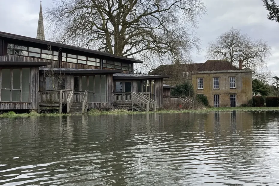
The planning application for Leaden Hall was put on pause until 24/09/26 in anticipation of the release of updated flood mapping for the area around Leaden Hall. The Environment Agency estimated in its letter submitted 07/07/26 that data relating to Leaden Hall’s location for the Flood Map for Planning would be updated by the 10th September, and the Risk of Flooding from Rivers and Seas map by the 24th Sept. These dates have now both passed.
These two governmental flood maps currently show Leaden Hall severely threatened by floods. Flood Zone 3 now occupies the entire Leaden Hall garden site. This is a planning designation for land with the highest risk of flooding, and with heavy restrictions on planning. Developments should not be considered unless highly extenuating circumstances apply. Developers must also prove no safer site exists through Sequential Testing. This cannot be done at Leaden Hall. A suitable safer site does exist, and was proposed in the Salisbury Master Plan of 2017: the South Site beside the Cathedral Cloister.
The proposed archive site is also clearly designated high-medium risk of flooding to 0.2-0.3m depth in the RoFRS map (see images below).
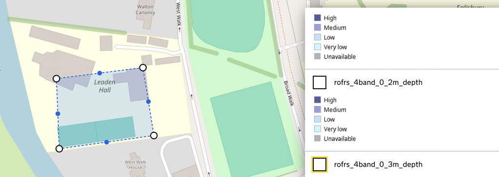
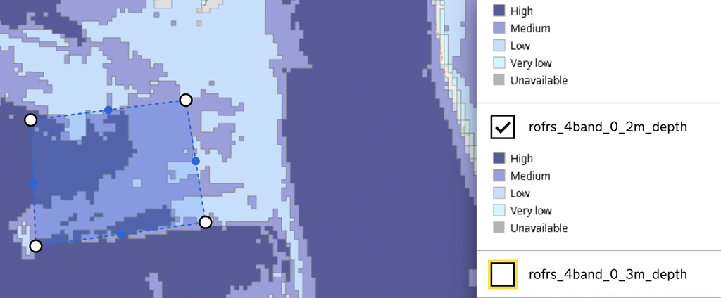
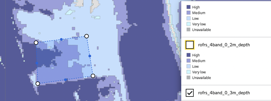
The changing climate and its increasing volatility means developers must be more conscious of environmental risks than ever before. Salisbury Dean and Chapter’s plan has thus far ignored vital flood risk data submitted by experts such as Aegaea. They have continued to push these plans despite being clearly inappropriate on environmental grounds, both in the immediate and long term: this planned archive would likely flood, putting its contents at risk.
With this new map data, Salisbury Dean and Chapter must pay attention. Save Leaden Hall, and reconsider the location for the offices and archive.
Contains public sector information licensed under the Open Government Licence v3.0.